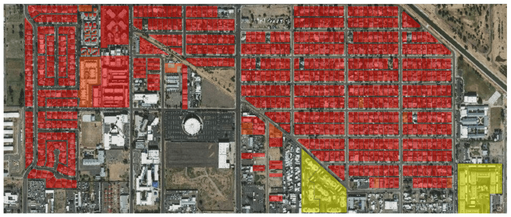
The Urban Climate Lab partners with cities to model climate change and heat risk at the scale of neighborhoods. Modeling climate at this scale is essential to understanding how heat risk varies across different land use patterns and across different socio-economic groups within cities. While global climate models map climate variability at the scale of continents and large regions, urban climate models are needed to understand how the urban heat island effect is amplifying these global changes in temperature. Here, we map heat exposures at the level of individual parcels in Phoenix, Arizona – enabling planners and public health officials to target heat adaptation and emergency response programs to neighborhoods most at risk to heat exposure. Our climate modeling work has been featured in the New York Times and The New Republic.
